Mapping the World By Heart Teacher Spotlight: Jim Dowd
The world seems strange and unimaginably big, but Jim Dowd has found ways to inspire his students to make the world seem that much smaller. This surprised even the parents in how effective his geography lesson plans worked.
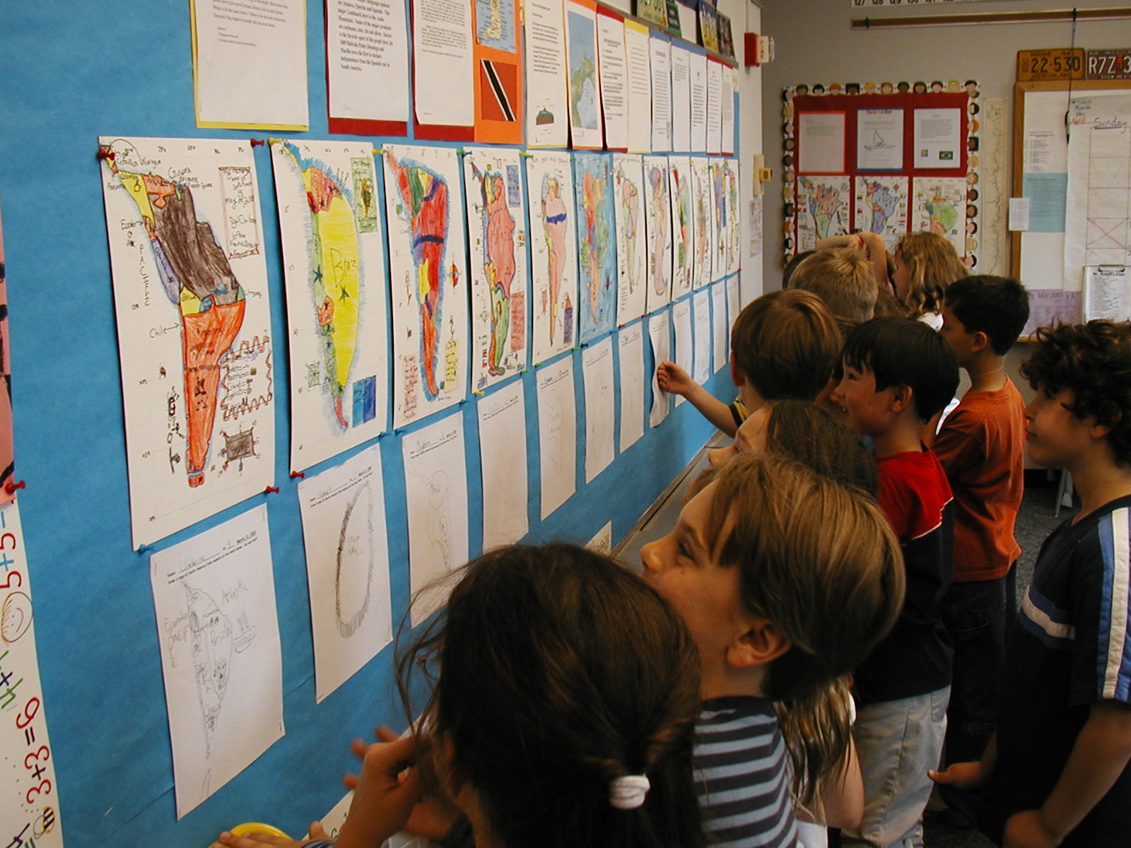
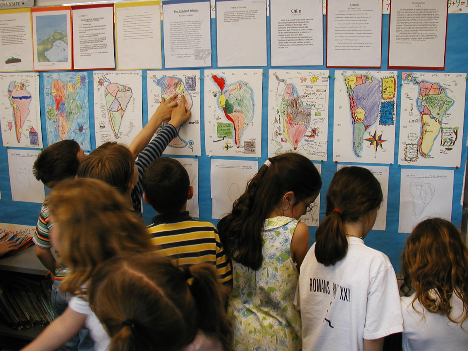
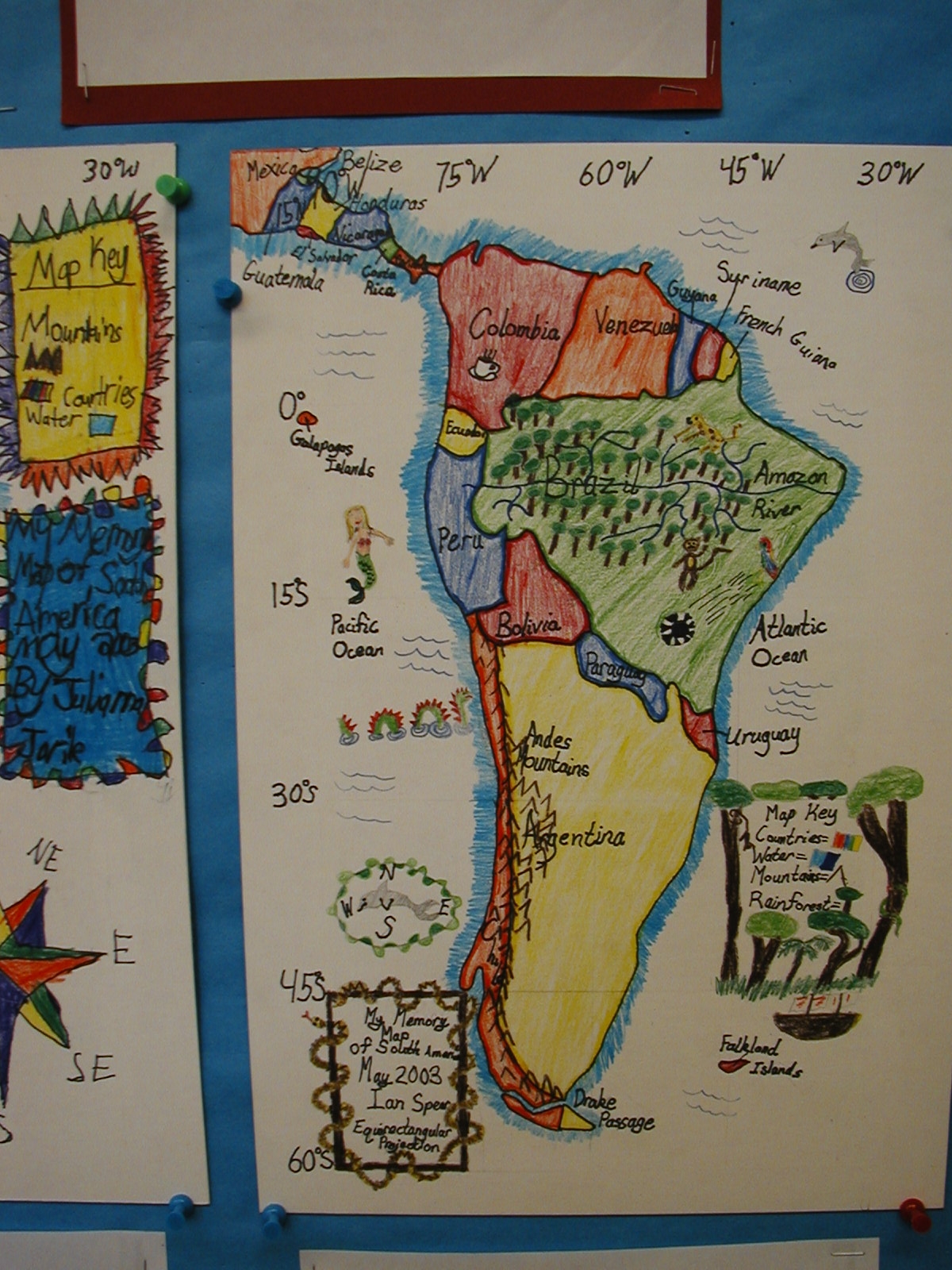
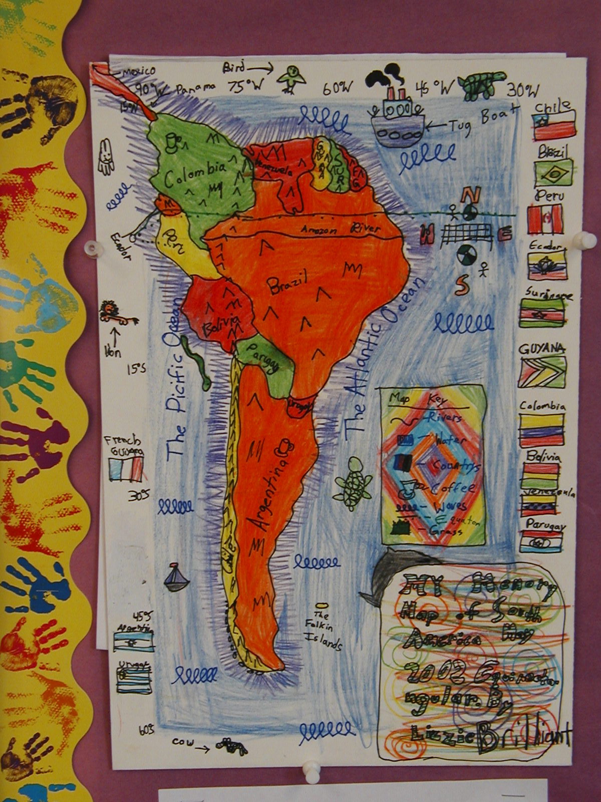
“I would hear lots of feedback like, ‘I could never draw this map myself, and I can't believe that my 9-year old can!’ Parents would often frame the final map boards and hang them up at home,” he said about using David Smith’s Mapping the World by Heart curriculum in his classroom around the globe.
Jim’s teaching career spans continents. Working with the JET Program, he served as an English teacher in Japan. Back in the states he worked for an outdoor education program in St. Louis, MO and as a fourth grade teacher a Forsyth School in St. Louis, and a second grade teacher at the Latin School of Chicago.
He recently chatted with Fablevision Learning about his experiences using Mapping the World By Heart both in and out of the classroom.
How were you introduced to Mapping the World By Heart?
David Smith came to the Forsyth School in 1997 for a one-day teacher seminar. I had never heard of the program before, but I adapted his Mapping the World By Heart curriculum to fit my fourth grade USA-based social studies program. The students would do a memory map of the USA on the very first day of the year, and then draw all 50 states by memory in May. The difference in their geographical knowledge from September to May was mind-boggling!
Working with your students, you have mapped the world in many creative ways, can you share a bit about the playground world map?
As a PTA member at Don Benito Fundamental Elementary School in Pasadena, CA, I arranged for David Smith to come for an author visit. He met with the entire school and discussed his books and the importance of geography. Then the entire faculty, during a meeting, created the grid for a world Mercator projection map on the playground according to the guidelines in MTWBH.
The next day, students from each class came to draw a section of the world on the map. PTA parents and students then painted in the countries and oceans. After the map was completed, we had an assembly where parents and students born in different countries greeted the student body while standing on their home country. Don Benito has a very diverse student population, and I think we had about 30 countries represented. Teachers have since used the map to teach the locations of continents, oceans, and countries. Playing interactive games on a giant world map is much more engaging than looking at one in a textbook!
You’ve worked with students in elementary and middle school, what is the importance of teaching geography – and mapping – at a young age?
Unfortunately, geography is not studied formally in most schools anymore. Geographical and cultural literacy is so important when understanding the history of a time and place. Students who map the world by heart will know exactly where exactly where countries like Syria and Argentina are, while most adults have no idea.
What was one “aha” moment using Mapping the World by Heart?
My "aha" moment was when a students would tell me that they could never draw a section of the world by heart, but 8 months later they could do it. Another satisfying aspect of the curriculum for me was how parents would rave about the final mapping projects.
What’s next?
Now that my kids are approaching middle school, I hope to return to teaching full-time. I will definitely take a job at a school that will allow me to incorporate Memory Mapping to the curriculum, as it is always the highlight of the year!
Would you like to learn more about Mapping the World by Heart? Click, here.
Are YOU – or someone you know - activating any of FableVision’s books, media, and/or software to approach learning in more creative, engaging ways? If you'd like to nominate someone for the FableVision Creative Educator Spotlight, click here and complete your submission electronically.


